In this post, I’ve curated a collection of New Zealand maps that should be helpful when planning a trip around the country.
After all, reading about where to go and what to do is great. But it’s much easier to create an itinerary when you can see where everything is!
You’ll find two Google maps full of things to do in North and South Island, with route suggestions around each. I’ve also added a link to the official NZ touring map, which you can download via the link.
I hope this helps! Any questions, let me know.
Table of Contents
New Zealand Map of North Island Attractions
How these maps work: Click each location on the map for more information. Click the little star next to the map’s title (it will turn gold) to add it to your own Google Maps account. To view it, open Google Maps, click on “Saved” in the menu, then go to the “Maps” tab. It should appear there.
This map of the North Island, New Zealand, contains over two dozen incredible locations.
Don’t worry about doing everything – especially if you’re up against the clock! Even ticking off a few in an order that makes sense to you will provide amazing memories. However, if you’re trying to see as much as possible, here’s a rough order of events that might work:
I’d start in Auckland, then head north to Whangarei Heads before making your way to Cape Reinga via the Bay of Islands.
On your return journey south, stop at 90-Mile Beach, the giant sand dunes, and Tane Mahutu. From there, you could stop in Auckland again to explore the islands off its coast.
Next, you could drive around the Coromandel Peninsula, then south to Mount Maunganui via Te Aroha. Keep going south to Rotorua, then cut northwest across the country to Hobbiton, followed by Raglan, before turning southward again to Waitomo.
Visit Taupo next, then drive south to hike the Tongariro Crossing.
Things get tricky here. Napier and Mount Taranaki/New Plymouth are on opposite sides of the country. Doing both will involve a lot of driving! If I were you, I’d pick one before doing the final stint down to Wellington.
Tip: If you want to explore Castle Point and Martinborough, it makes more logistical sense to go to Napier instead of Taranaki.
New Zealand Map of South Island Attractions
This map of the South Island, New Zealand, contains even more potential places to visit!
If you want to see as many as possible, here’s the route I’d take if you’re coming from Wellington by ferry:
Explore Picton and Marlborough Sounds, then drive west to Nelson before hitting up Abel Tasman, Takaka, and Farewell Spit. From there, retrace your steps and head south to Nelson Lakes National Park.
Next, do the famous West Coast driving route, starting from Westport and venturing south.
Your first stop will be Punakaiki and the Pancake Rocks. Continue from there until you hit Hokitika, then Franz Josef and Fox Glacier.
The drive from there to Wanaka and Queenstown is epic. Explore both towns, then make your way to Fiordland. Explore Milford Sound, Doubtful Sound, or both. Next stop?
The Catlins. Then drive up the coast to Dunedin. Continue from there until just past the town of Oamaru, where you can take Route 83 inland. Link up with State Highway 8, which takes you north to Twizel and Mount Cook.
Next up, drive northeast to Christchurch via Lake Tekapo. From there, you have a choice!
If you have time, drive Arthur’s Pass along State Highway 73. You could go to Arthur’s Pass village via Castle Hill and then drive back the way you came to Christchurch. You’d then drive north to Kaikoura.
Alternatively, for an extra adventure, keep going from Arthur’s Pass Village until you hit the West Coast again (just north of Hokitika). You can then drive north to Greymouth, where you’d pick up the Lewis Pass on State Highway 7.
This stunning road crosses the country eastward again. Along this route, you could pick up the smaller, winding Route 70, which eventually leads northeast to Kaikoura.
If you don’t come to South Island by ferry from Wellington, you’ll likely fly into Christchurch or Queenstown. This will obviously impact the order of places you visit! Hopefully, you’ll still have a sense of where to go from everything I was just saying, though.
New Zealand iSite Touring Map
Feel free to download a copy of this official NZ isite touring map, also available on their website. They very kindly gave me permission to publish it here.
As you can tell, this New Zealand map is packed with useful insights and information. It includes key routes around both islands plus the addresses of isites around the country.
These visitor information centres are fantastic resources for travellers in New Zealand. Whenever you go somewhere new, you can stop at the local information centre, ask about activities/accommodation options in the area, learn about the location’s history, and book huts for overnight hikes you want to do, and so on.
My Map of New Zealand Posters
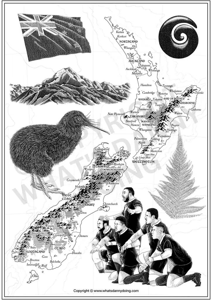
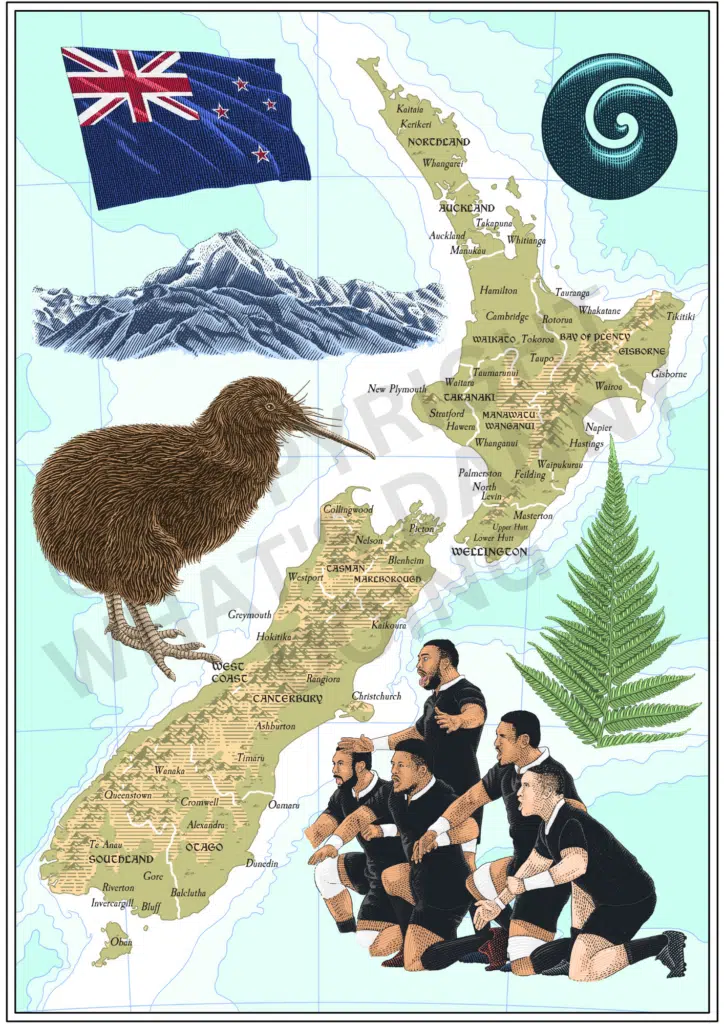
Love New Zealand as much as I do? You might be interested in the New Zealand map posters I’ve made, which you can download and print to display in your home.
The black-and-white poster is totally free (download your copy here!). If you’d like the full-colour version, head over to my Etsy store, where it’s currently on sale for a few bucks. And click here if you’d like a beautiful framed copy delivered straight to your door!
Bookmark These New Zealand Maps for Later
Whether you’re planning a New Zealand trip and want a better idea of where everything is, or you’re about to tour the country and want a map to take with you, I hope this collection of New Zealand maps has been useful!
Don’t forget to add the North and South Island maps to your Google Maps. And why not bookmark this page for future reference? Similarly, if you have questions or want help planning your New Zealand trip, don’t hesitate to reach out.