Want to visit one of the tallest waterfalls on New Zealand’s North Island?
Wairere Falls does not disappoint.
I’ve been twice now, and I was blown away on both occasions by its scale and beauty.
The short hike to the top is nicely challenging but very achievable. The scenery is gorgeous, and the waterfall itself is sublime.
If you’re ever in this part of New Zealand and looking for an off-the-tourist-trail activity, I highly recommend it.
Here’s everything you need to know about Wairere Falls and the Wairere Falls Track.
Wairere Falls: Quick Overview
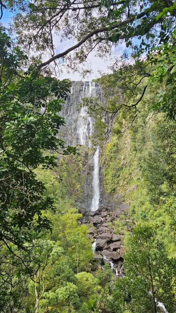
Wairere Falls is the highest waterfall on New Zealand’s North Island.
That’s according to Google, anyway…
There’s actually a taller one on the Coromandel Peninsula called Billygoat Falls. It’s 180m high, while Wairere is “only” 153m.
I’ve never seen Billygoat Falls in person, but from the pictures online, Wairere Falls is arguably more impressive.
It cascades down a near-vertical, bush-covered clifftop to the ground below – and you can walk to the very top.
Where Is Wairere Falls?
Wairere Falls is in the Waikato region of North Island, New Zealand. The closest town is Matamata, which is a 10-minute drive away.
How to Get to Wairere Falls
The easiest way to visit Wairere Falls is by car.
The free car park is well-marked on Google Maps (search Wairere Falls Track), and road signs also direct you there when you’re within a few miles.
As far as I know, you can’t get to the trailhead via public transport, but you could consider getting a taxi from Matamata.
Another option would be to hitchhike from Matamata. Wairere Falls is a popular local spot, so you shouldn’t struggle to catch a ride.
Wairere Falls Track: Key Info
Distance: 5 km (3.1 miles) return.
Duration: 3 to 4 hours return on an out-and-back trail.
Difficulty:
Easy, although there are a few steep sections, so you’ll require a reasonable level of fitness. It’s a well-beaten and clear path the entire way, with signs at the top ensuring you can’t take a wrong turn.
Facilities:
The car park at the Wairere Falls trailhead has a well-maintained block of long-drop toilets, but there are no facilities along the track itself.
Hazards:
There are a few wet, muddy, and slippery parts. Some areas also have a risk of rockfall. The Department of Conservation recommends avoiding the hike during or after significant rainfall.
What to wear:
Ultimately, this will be weather-dependent, so be sure to check the forecast before you leave. However, a pair of sturdy walking shoes with good grip will always help.
Last time I went, it was about 15-18°C and mostly overcast.
I wore trail-running shoes, shorts, a t-shirt, a light fleece, and a cap. I packed a waterproof and soft-shell jacket but didn’t need either.
What to take:
This is a short hike, so you don’t need much! However, some water, snacks, and sun protection will come in handy.
It isn’t essential, but I also recommend taking a swimsuit and towel. There are gorgeous natural pools along the trail that are great for a quick dip on a hot day.
Wairere Falls Track: Hike Summary
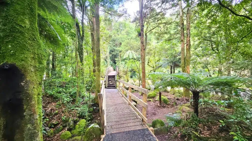
The trail starts from the car park and climbs steadily through beautiful and quintessentially Kiwi bush.
Expect dense forest, moss-covered boulders, tree roots everywhere, and countless ferns flanking the trail.
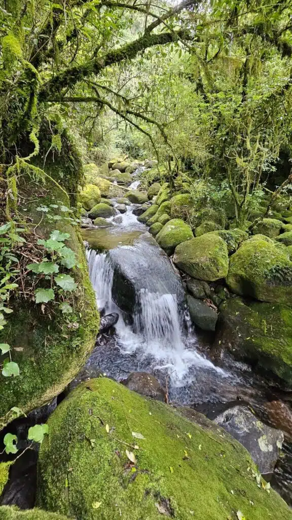
You soon arrive at the river, which you basically follow upstream the whole way. Enchanting scenes await around every corner – expect mini waterfalls, huge boulders, and pools full of crystal-clear water.
You’ll cross two small bridges, ascend steep sets of stairs, and clamber over damp boulders until you reach the lookout.
It will probably take 45 to 50 minutes to get to this point.
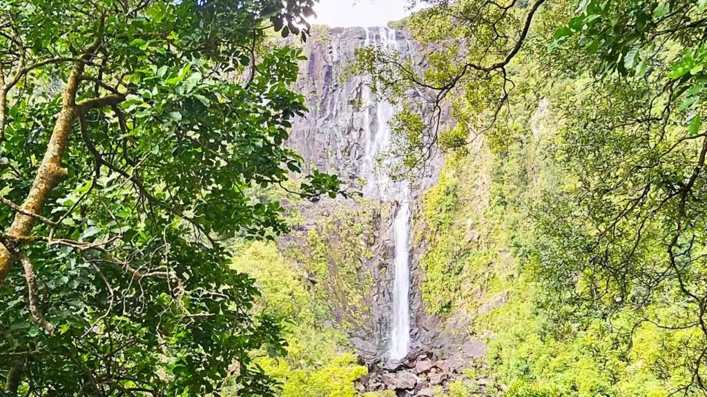
This is the best view of Wairere Falls by far, so it’s worth stopping.
Framed by overhanging branches, it’s a stunning sight. There’s a nice seating area here to rest your legs and take it in.
If you’re hiking with young children, consider turning around here.
The second half of the Wairere Falls Track is harder, so their little legs might struggle. Expect a steep ascent to the top with a few small scrambles over damp roots and boulders.
From the lookout, it’s only around 45 minutes to the top, but the trail is almost exclusively uphill.
It plateaus eventually, then descends slightly until opening out at what I can only describe as an oasis.
The forest gives way to an idyllic scene: a stream flowing serenely through an untouched wilderness.
Birds flit through the air, eels swim in the water, and 100 metres to your left, Wairere Falls plunges into the abyss.
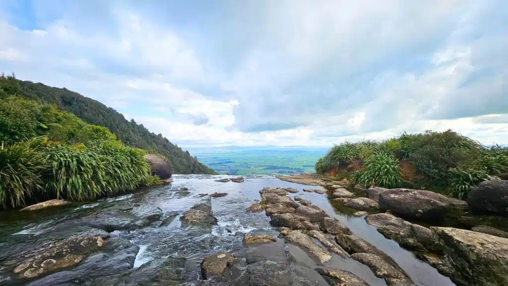
You can walk right up to it, revealing an epic view of the surrounding landscape. There’s a viewing platform here, but you can also step out on to the top of Wairere Falls itself.
The water is shallow and slow-moving in places (I imagine this changes following heavy rain), and partially submerged rocks provide handy stepping stones.
The view, the sound of rushing water, and the fact you’re literally on top of an enormous waterfall make it an incredible place.
Whenever you’re ready to leave, turn around and follow your footsteps back to the car park.
Enjoy the Wairere Falls Track, New Zealand
If you’re in the Waikato region of New Zealand’s North Island and looking for a short hike that’s off the typical tourist trail, then the Wairere Falls Track is hard to beat.
I hope you have an amazing time. Just one final tip, though:
Before you go, check that it’s definitely open on the Department of Conservation website. Like most trails in New Zealand, it looks like it closes for maintenance sometimes.
If you have any questions about Wairere Falls or the hike, let me know in the comments, and I’ll try to help!
Like this post? Read this one next for more of the most beautiful places in New Zealand.